2018 – Numeric print on paper | 119 x 84 cm
Julia Borderie & Eloïse Le Gallo
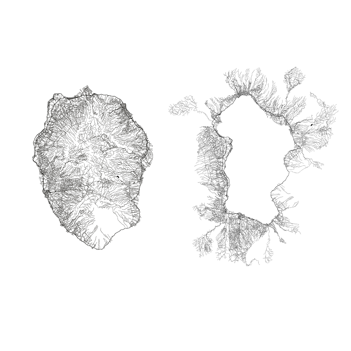
Reunion Island IGN map focuses on the river and road networks that map a singular relationship between centre and periphery. The coastline is the social nerve centre of the island while the geographic center part called “les Hauts” is empty. The centre spreads over the periphery. We reverse the map : the territories furthest from the centre of human activity are found on the periphery in the A0 format, transforming orthonormal scientific cartography. These two images are part of a series of 10 posters produced by Periphériecollective. They were stuck on a wall in the rue forceval that links Paris to Pantin, under the ring road, during the exhibition A0 at Pas Si Loin cafe in Pantin.
Two numeric print on paper | 119 x 84 cm